Water plan monitoring, reporting and review
We monitor the implementation of each plan to make sure it's achieving its outcomes.
This includes using data from:
- streamflow gauging stations and groundwater monitoring bores
- the Environmental Flows Assessment Program (EFAP), which collects information on the water requirements of ecosystems to inform planning
- the Q-Catchments program (formerly known as the Stream and Estuary Assessment Program), which monitors threats to aquatic ecosystems
- expressions of interest in Indigenous water reserves.
We also use data from water supply scheme operators, who monitor and report on their infrastructure. Find out more about data collection and reporting standards.
Reports
The data we collect is used to:
- support the development of water plans
- prepare the Minister's reports.
The Minister's report is prepared at least every 5 years for the life of the plan. The reports are a water plan's 'health check'. You can download Minister reports from our library collection.
Reviews
Before a water plan expires, its performance is evaluated. This risk assessment helps determine if a plan can be extended, amended or needs a full review and replacement.
When an existing water plan is reviewed, all the plan development steps are done in full again.
-
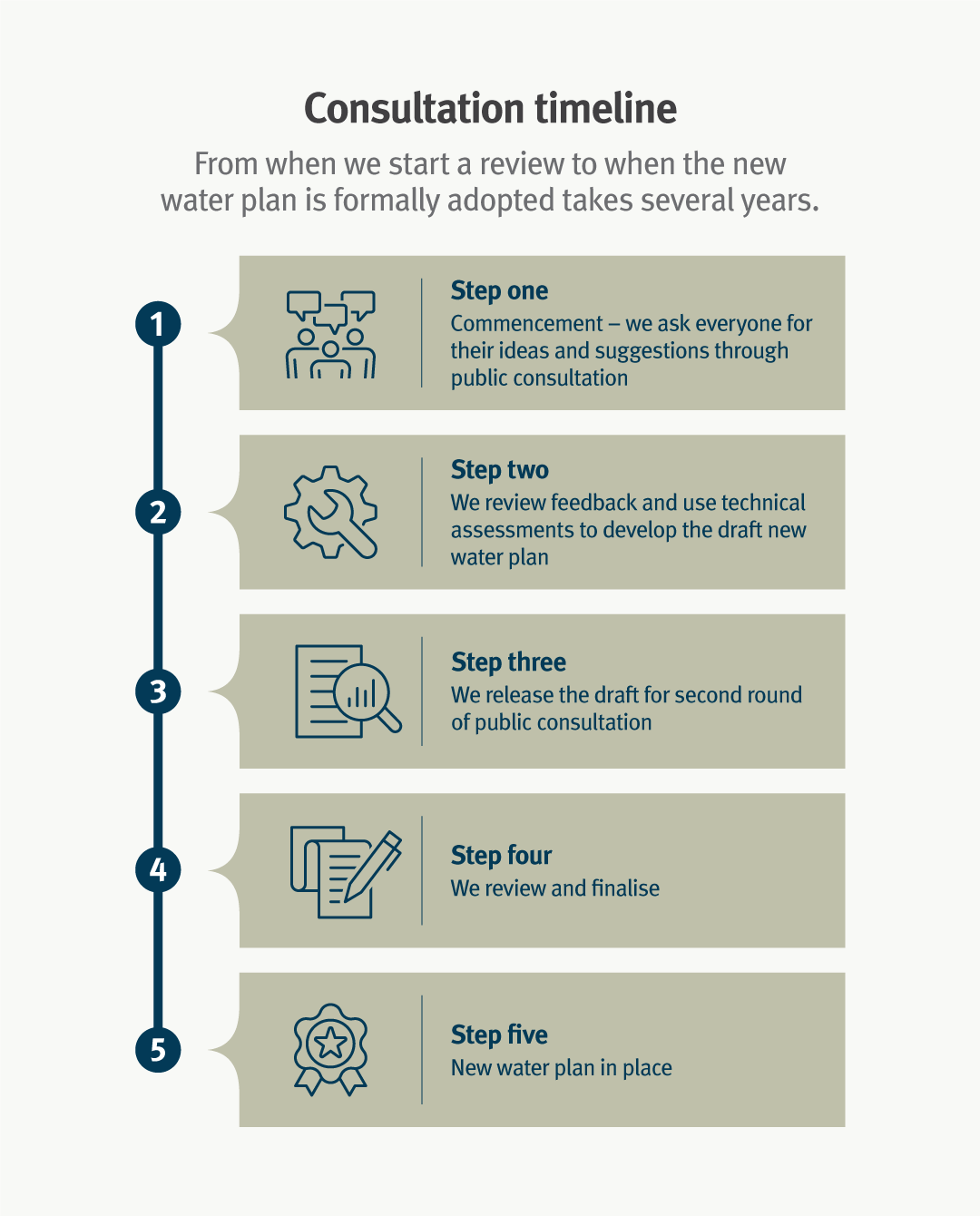
Consultation timeline
From when we start a review to when the new water plan is formally adopted takes several years.
- Step 1: Commencement - we ask everyone for their ideas and suggestions through public consultation.
- Step 2: We review feedback and use technical assessments to develop the draft new water plan.
- Step 3: We release the draft for second round of public consultation.
- Step 4: We review and finalise.
- Step 5: New water plan in place.
Current life stage for each water plan
See where each water plan is in its own cycle. This is separate to the unlocking water project.
Current
- Baffle Creek Basin (expiry 2030)
- Barron (expiry 2033)
- Cape York (expiry 2029)
- Cooper Creek (expiry 2031)
- Mary Basin (expiry 2034)
- Wet Tropics (expiry 2032)
- Queensland Murray Darling Basin
- Border Rivers and Moonie (expiry 2029)
- Condamine and Balonne (expiry 2029)
- Warrego, Paroo, Bulloo and Nebine (expiry 2026)
In review
- Burdekin Basin (expires 2028)
- Burnett Basin (expires 2027)
- Georgina and Diamantina (expires 2027)
- Gold Coast (expires 2026)
- Gulf (expires 2027)
- Logan Basin (expires 2026)
- Mitchell (expires 2027)
- Moreton (expires 2029)
- Pioneer Valley (expires 2027)
- Whitsunday (expires 2028)
- Great Artesian Basin and other regional aquifers (GABORA) (expires 2027)
- Proposed Central Queensland Water plan (proposal to combine 3 existing water plan areas)
- Boyne River Basin (expires 2028)
- Calliope River (expires 2028)
- Fitzroy Basin (expires 2028).
Also consider...
- Access water plans and other planning documents for your water plan area.
- Visit the water monitoring portal for information on streamflow and groundwater levels.
- Find out more about Indigenous water reserves.
- Find out more about the water monitoring and data and the Environmental Flows Assessment Program.
- Read the Water planning science plan 2020–2030 to find out how we use science to develop water plans and improve water planning.
- Explore the various ways we use science to develop, monitor, review and evaluate our water plans using our interactive storymap.
- Find out about water metering and how metering data is used to measure water use.
- Read about how we monitor and evaluate water use to ensure compliance with water regulations.
- Read Queensland’s water plans in a variable and changing climate report to understand how water plans incorporate climate science and manage the risks of climate variability.