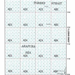
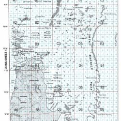
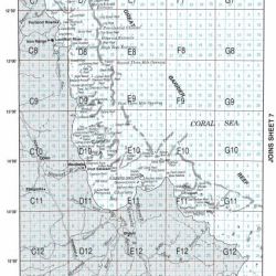
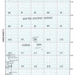
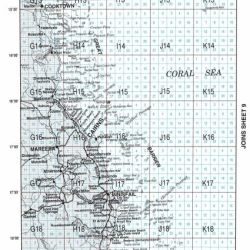
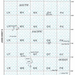
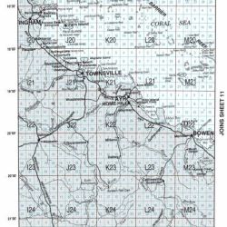
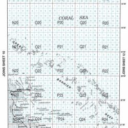
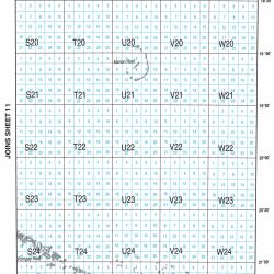
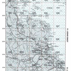
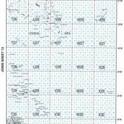
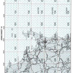
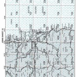
Logbook codes and maps
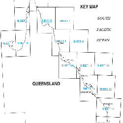
Queensland waterways are divided into 16 mapped areas. Each area has a location reference consisting of a grid and site (e.g. grid U38, site 13).
The commercial fisher in control must use the grid/site reference (or latitude and longitude) when completing the:
These maps are also found in the front of both logbooks.
Maps
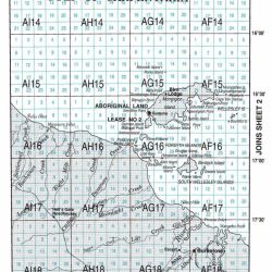
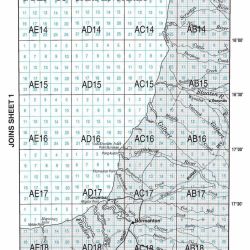
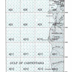
Legend